Severe Storms Unleash Damaging Winds and Torrential Rain
Travis Bateman
Farmer Staff Writer
The afternoon and evening of June 7, proved active for severe summer weather across the county and region.
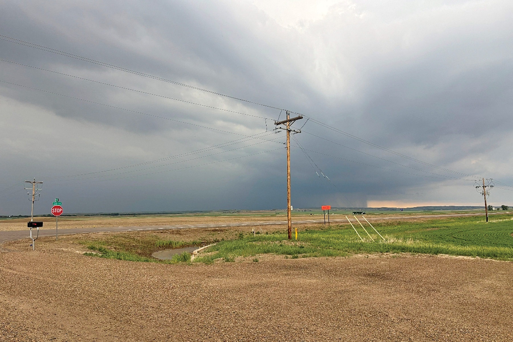
Severe thunderstorms lead to damage reports from strong winds that accompanied torrential downpours amidst almost constant lightning and were noted by social media posts, television weather personnel, and emergency response calls.
The day started with National Weather Service and news station meteorologists putting out information and watches advising that the day would become active for severe weather. With high humidity and temperatures in the mid-to-upper 80s, some even seeing 90, it was the right mixture for just that.
Storms began firing up over northeast Wyoming and southeast Montana mid-afternoon and rolled into western North Dakota and marched northeast.
Residents in the Alexander area reported hail up to baseball-sized before another thunderstorm cell moved through the Grassy Butte region and also produced hail of similar size. Lightning began flashing almost nonstop as the storm moved across southeast and eastern McKenzie County. The central area of the county and Watford City made up for the emergency calls for storm-related incidents.
At 7:18 p.m. a report of smoke and fire in the Theodore Roosevelt National Park’s North Unit near the Juniper Campground was received for fire crews to respond to.
For the full story, visit www.watfordcitynd.com and subscribe to the McKenzie County Farmer today!